


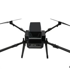
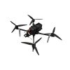
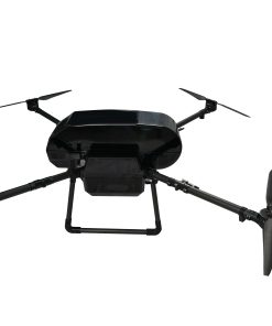
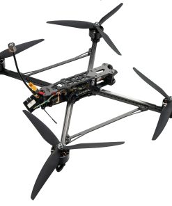
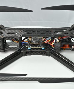
X4-1900H RTK Drone for Environment Monitoring and Patrol
$348,800.00
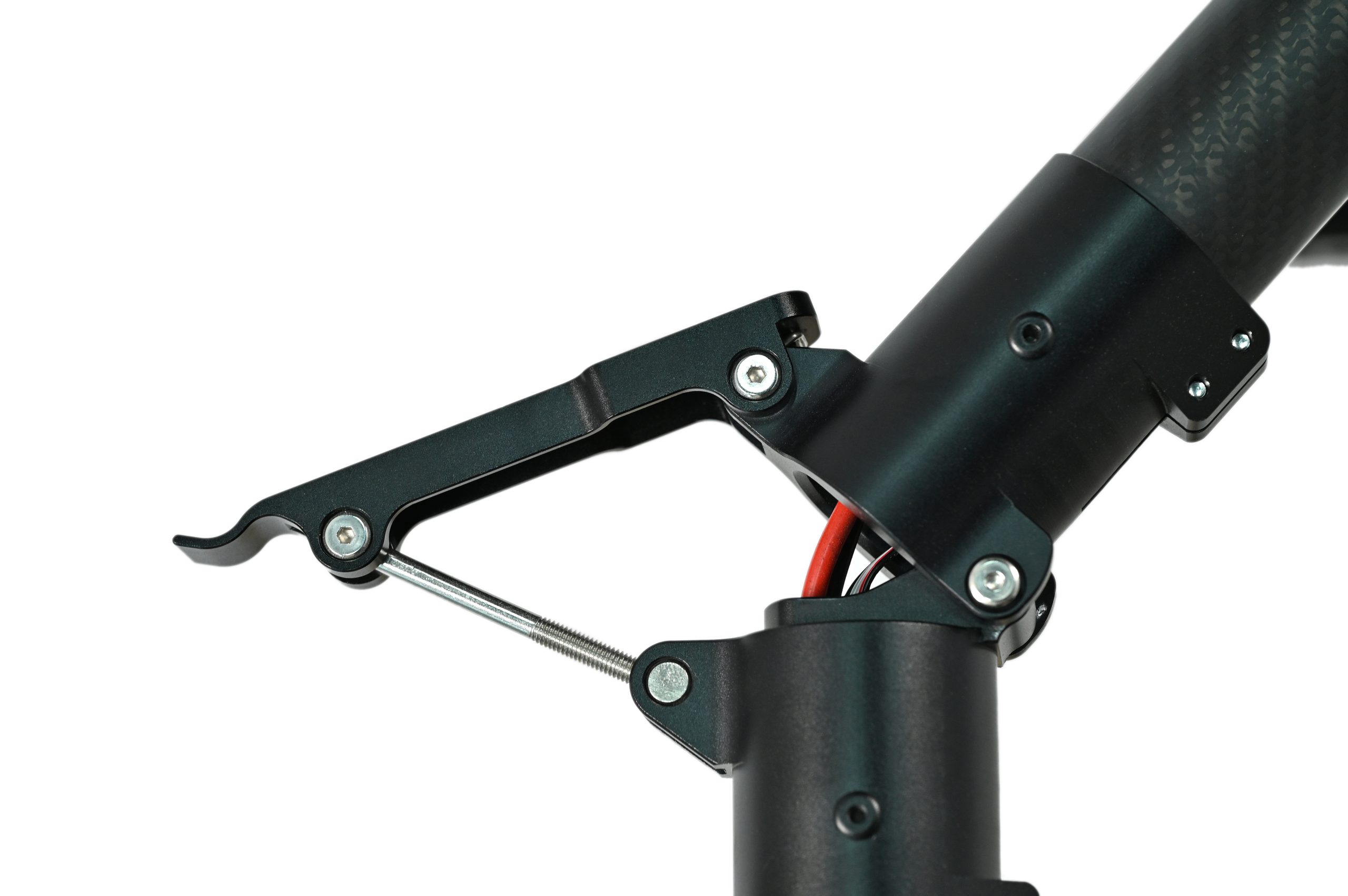
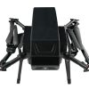
- Foldable structure for easy transport and deployment
- Hydrogen-powered, eco-friendly with zero emissions
- Up to 2-hour endurance for extended missions
- Multi-payload capable for agriculture, inspection, security
- Foldable build for easy carry and quick setup
- Hydrogen-electric hybrid system, up to 2-hour endurance
- Versatile payload support for multiple missions
- 29kg max take-off weight with powerful thrust
- RTK-enabled for accurate and reliable flight paths
- Long-range HD video transmission up to 20km
| Set Power | x8 |
| Wheelbase | 1900mm |
| Empty Weight | 14.5kg |
| Maximum Takeoff Weight (70% throttle) | 29kg |
| Unfolded Dimensions (without propellers) | 15001500650mm |
| Folded Dimensions (without propellers) | 900800650mm |
| Power Battery | 6s5300mah2 |
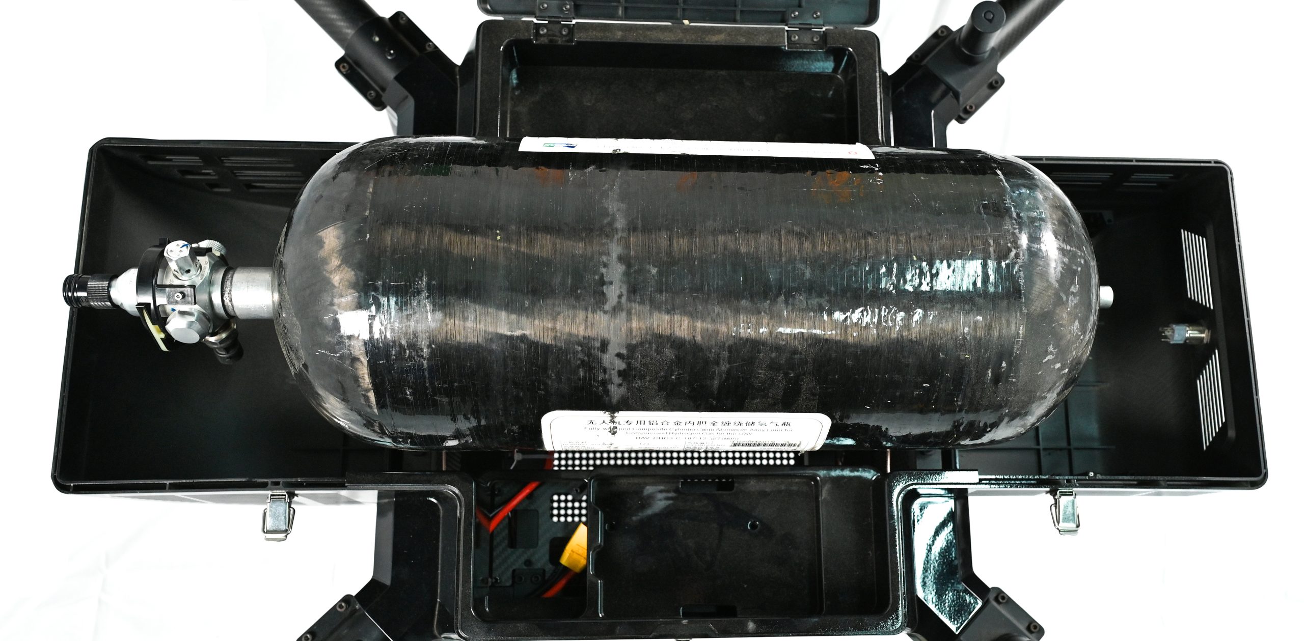
| Hydrogen Fuel Cell | Output 48v Rated Power 3kw |
| Maximum Horizontal Speed | 18m/s |
| Cruise Speed | 0~15m/s |
| Sea Level Climb Rate | 0~5m/s |
| Transmission Distance | 20km (without interference) |
| Flight Time | 2 hours (payload-free) |
| Satellite Navigation System | GPS + Galileo + BeiDou |
| Positioning Accuracy | Centimeter-level RTK |
| Air Cylinder Parameters | 12L cylinder, filled to 350bar (absolute), full cylinder weight 4.3kg, empty cylinder 3.8kg |
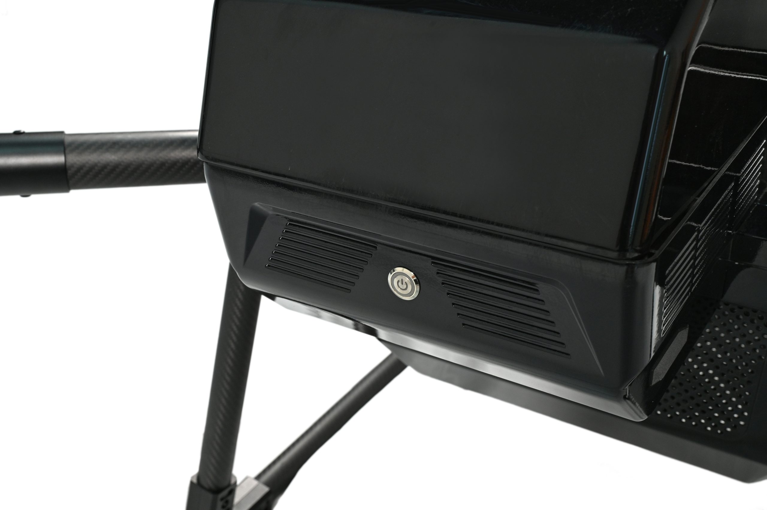
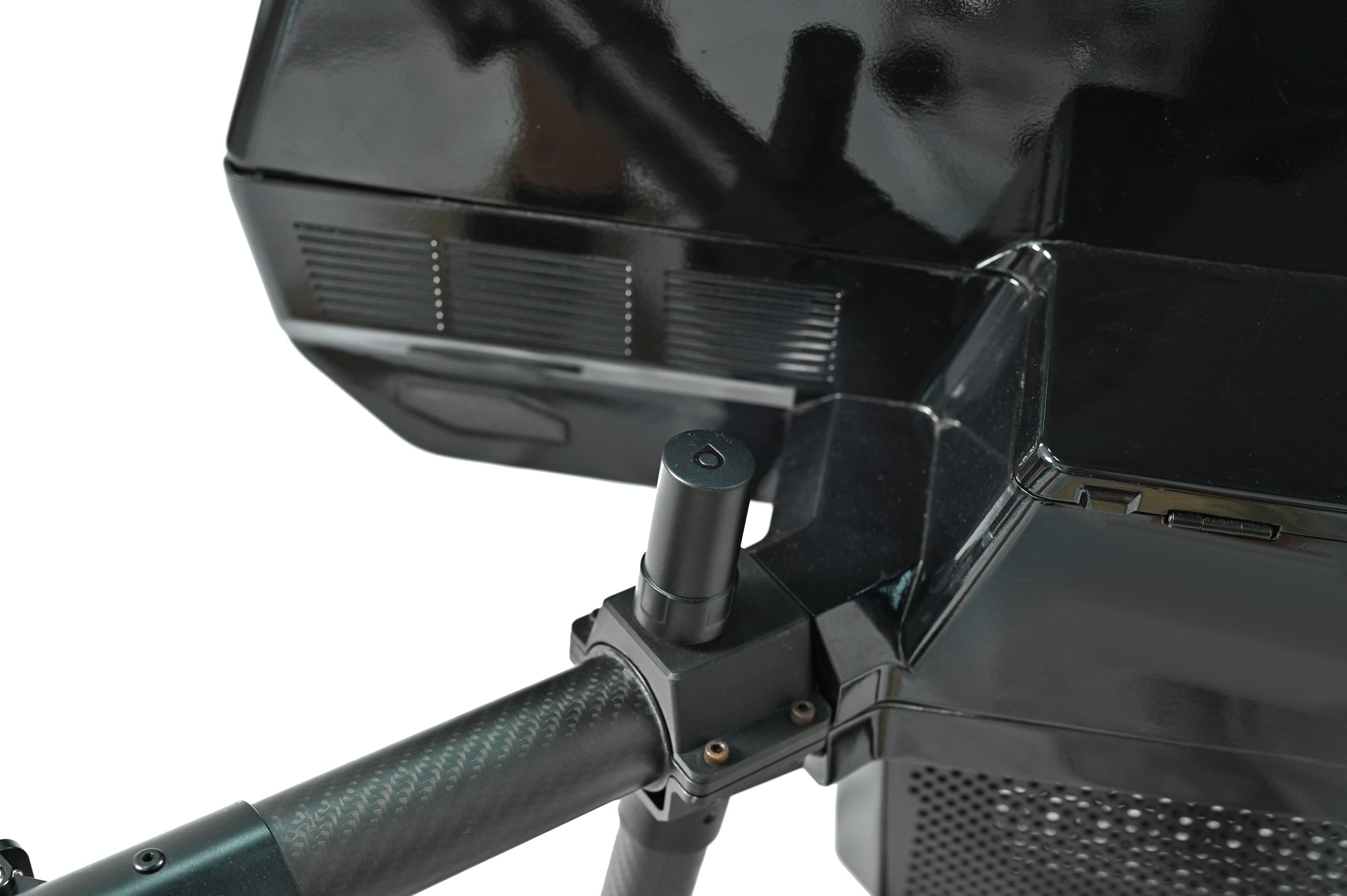
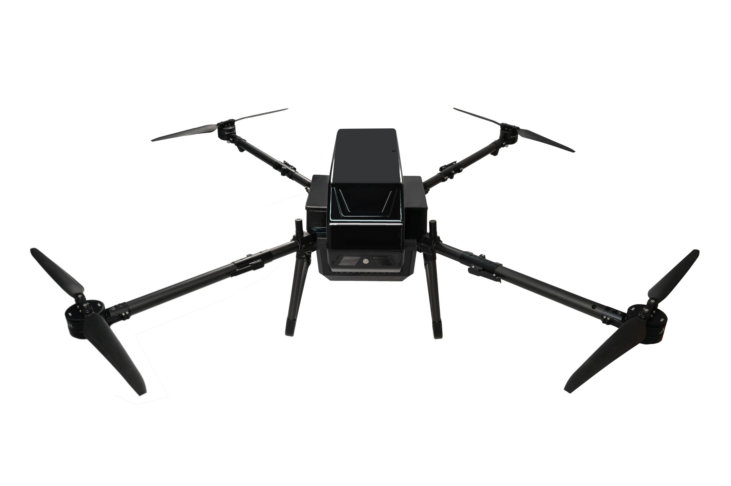
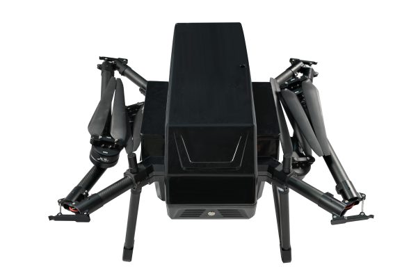
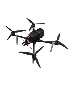
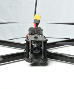
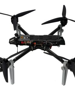
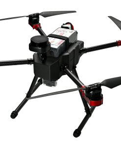
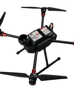
The X4-1900H is a hydrogen-powered drone designed for multi-industry operations, combining portability and high performance. With a modular foldable frame, it folds down to 900×800×650mm, making transport and field deployment effortless. It uses a 48V/3kW hydrogen fuel cell alongside dual 6s batteries, enabling 2 hours of zero-emission flight under no load. With a 29kg MTOW and RTK-supported centimeter-level positioning, it supports various payloads like cameras, LiDAR, and sprayers—ideal for agricultural spraying, infrastructure inspection, and environmental surveys.
The X4-1900H is a foldable hydrogen fuel drone engineered for multi-purpose industrial applications. Its structure folds to a compact 900×800×650mm size, enabling easy transport and fast deployment in varied field environments. It combines a 48V/3kW hydrogen fuel cell and dual 6s 5300mAh batteries, delivering 2 hours of no-load endurance while maintaining zero emissions—ideal for environmental or regulatory-sensitive operations.
This drone supports a 29kg MTOW and accommodates professional payloads including cameras, LiDAR, thermal imagers, and spray modules. Its centimeter-level RTK positioning, integrated satellite navigation (GPS + Galileo + BeiDou), and 20km HD video transmission make it a top-tier aerial platform for precise, long-range, and eco-friendly missions such as agriculture, inspection, surveillance, and environmental monitoring.

| Weight | 14.5 kg |
|---|---|
| Dimensions | 90 × 80 × 65 cm |
3 reviews for X4-1900H RTK Drone for Environment Monitoring and Patrol
Add a review
You must be logged in to post a review.
Related products
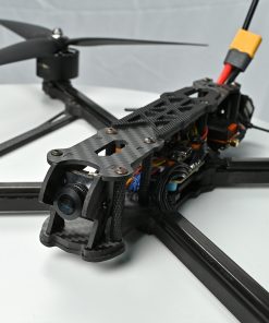
FPV Drones
FPV Drones

sdada –
Its folding frame saves us so much time in the field
myme –
Impressive hybrid power and zero emissions – perfect for our eco-monitoring projects
beins –
Supports multiple sensors, very useful for different jobs.