

-
×
 X4-1900H RTK Drone for Environment Monitoring and Patrol
1 × $348,800.00
X4-1900H RTK Drone for Environment Monitoring and Patrol
1 × $348,800.00
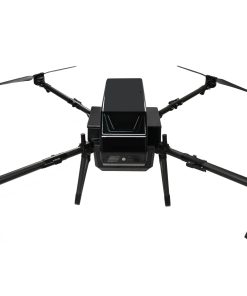
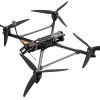
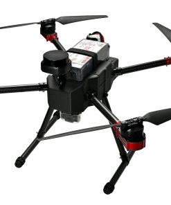
X4-900 Long Range FPV Quadcopter Industrial Mapping Drone with Centimeter-Level Precision 20km
- Maximum speed: 130 km/h
- Maximum flight range: up to 20 km*
- Flight time: up to 25 min*
- Warhead weight: 6 kg
- Centimeter-level RTK ensures precise automated flights, no drift.
- Integrated LiDAR enables versatile high-accuracy mapping.
- 52-minute max flight time meets extended operational needs.
- HD transmission + stabilized gimbal = clear, stable imaging.
Need a tailored FPV setup? Get in touch today
- Product Overview
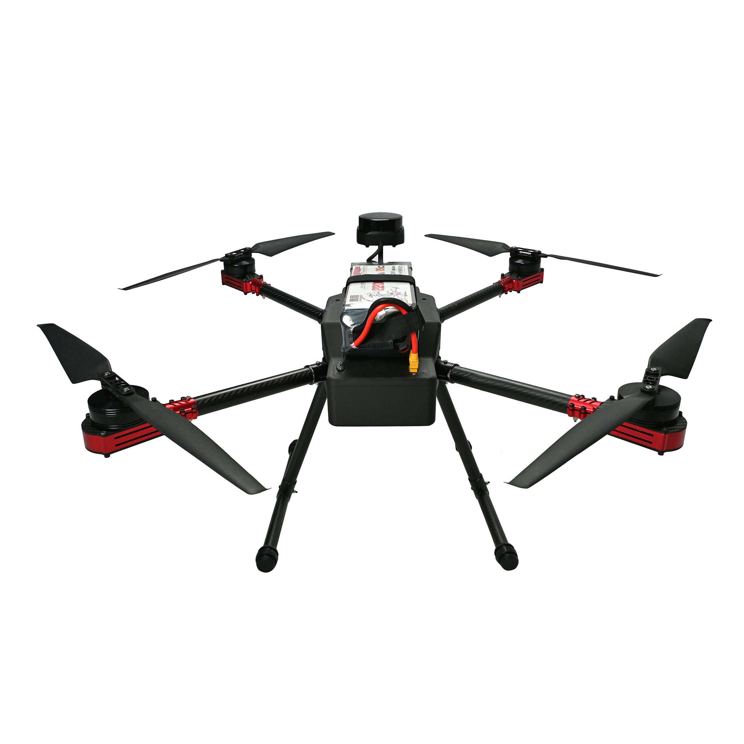
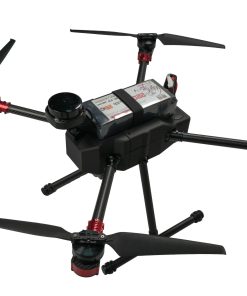
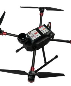
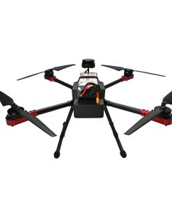
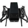
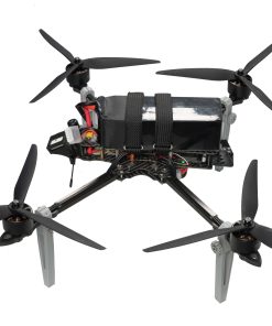
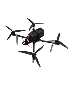
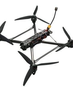
The X4-900 stands as a high-performance drone platform engineered specifically for industrial-grade operations. It integrates robust flight capabilities, pinpoint navigation, reliable long-range video transmission, and flexible payload compatibility to meet the demands of professional workflows.
Key Specifications:
- ESC: SE0660X4 high-performance electronic speed controller, ensuring steady motor operation even under heavy loads.
- Flight Controller: S7mini advanced system, enabling precise flight maneuvers and automated operations.
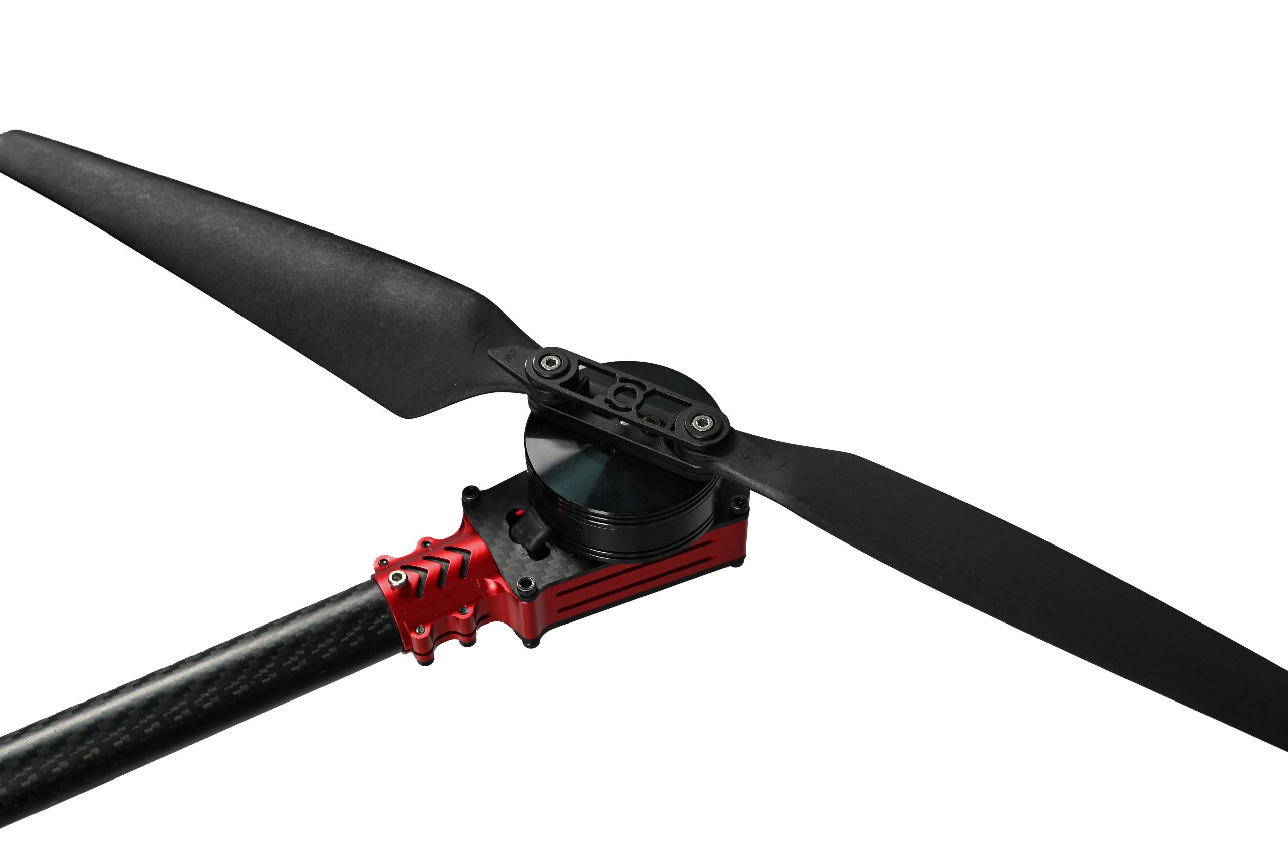
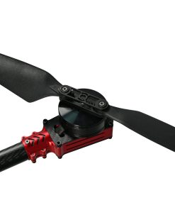
- Motor: 5008 brushless motors, delivering powerful thrust with exceptional energy efficiency.
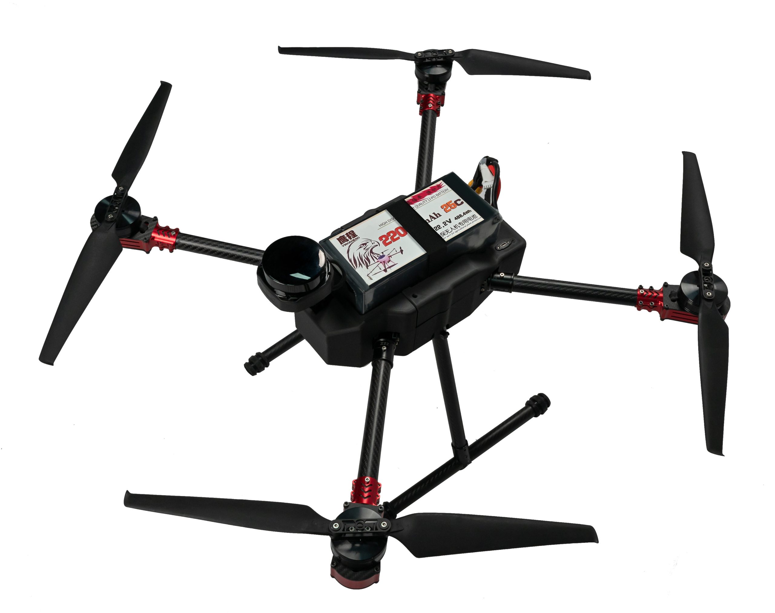
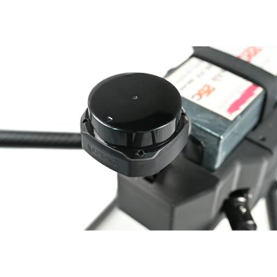
- RTK Module: G982, providing centimeter-level positioning for error-free route planning.
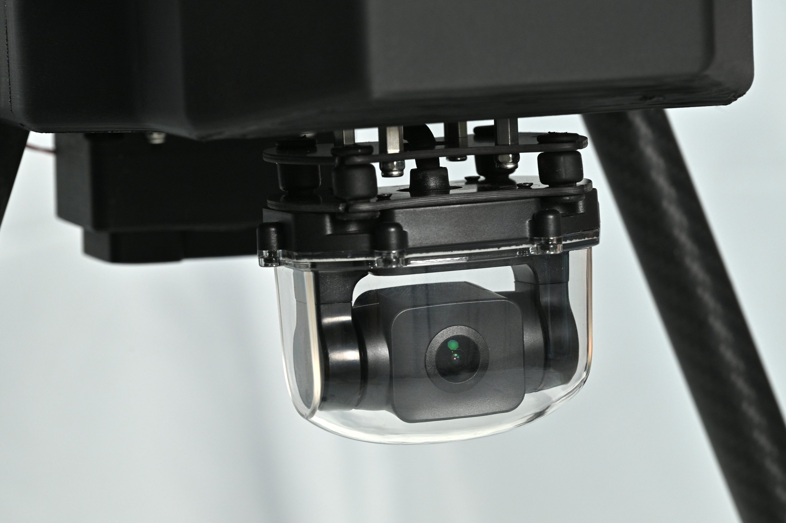
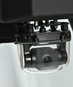
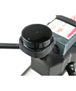
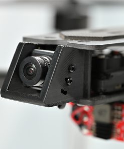
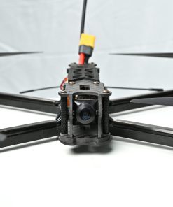
- Gimbal: A2MINI stabilized gimbal, compatible with multiple camera types for steady imaging.
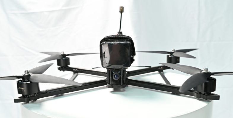
- Video Transmission: VW20 HD system, supporting long-distance data and video transfer.
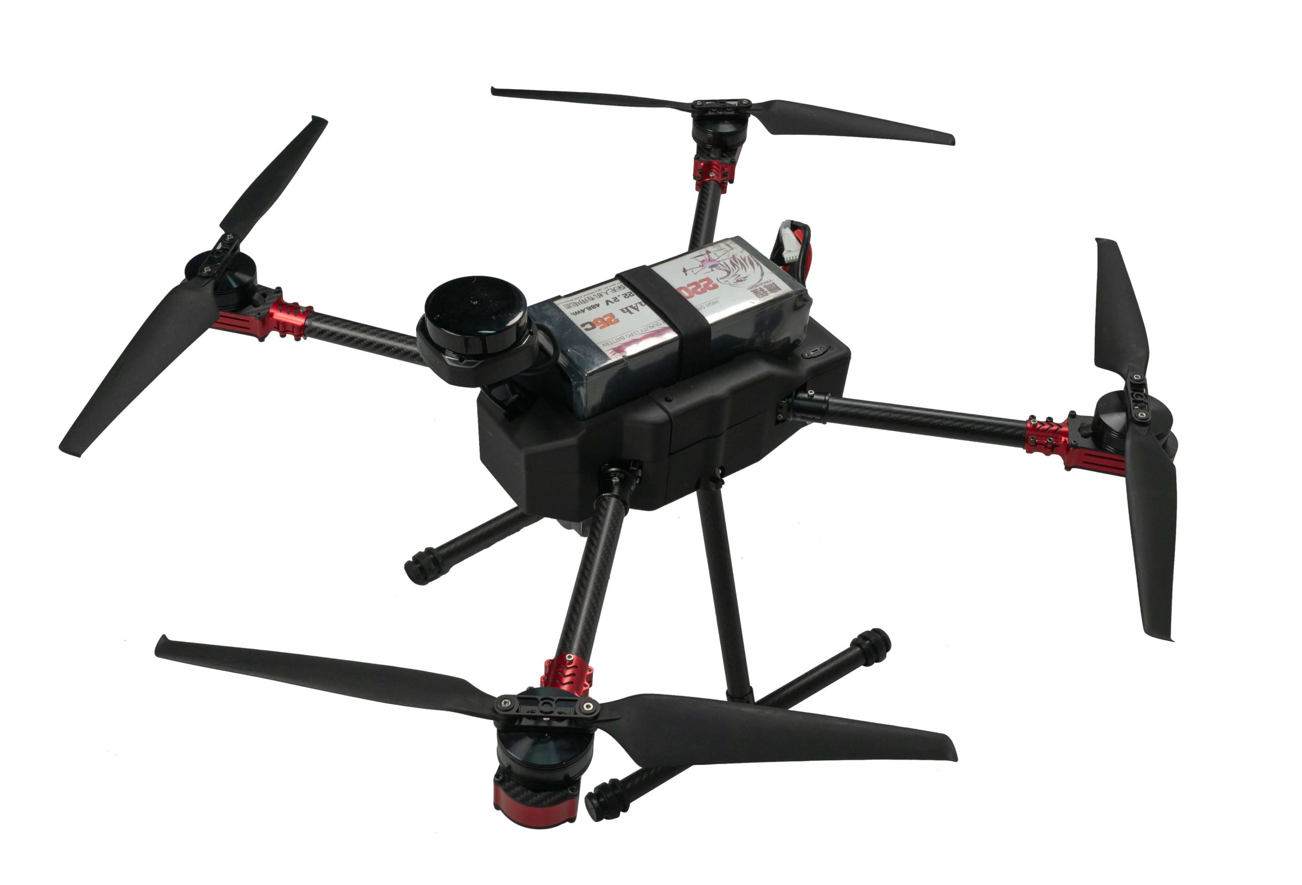
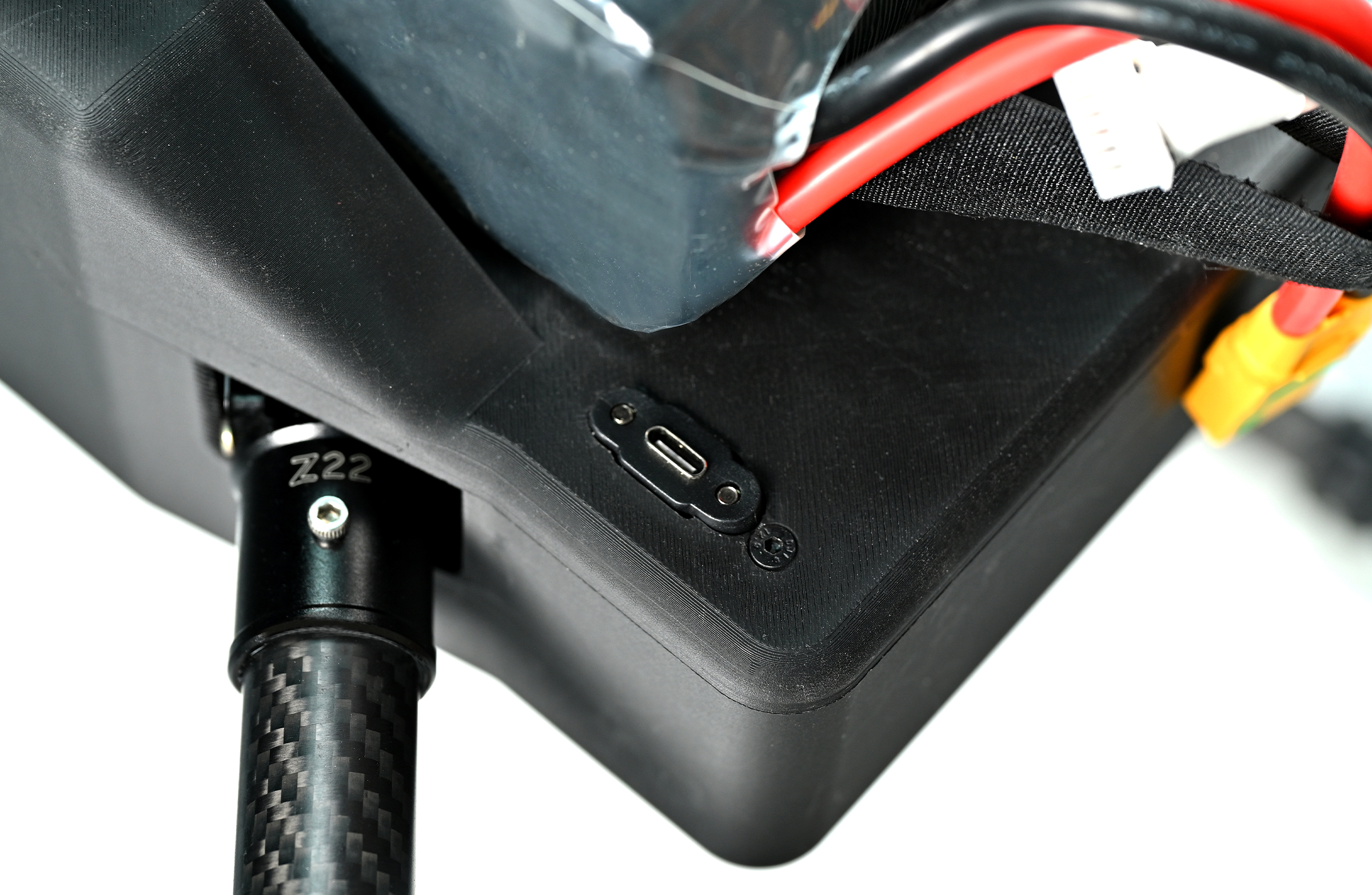
- Battery: 6S 22000mAh high-capacity battery, extending mission duration.
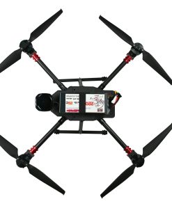
- Propellers: 18×5.7 aerodynamic propellers (2 pairs), optimized for maximum lift and efficiency.
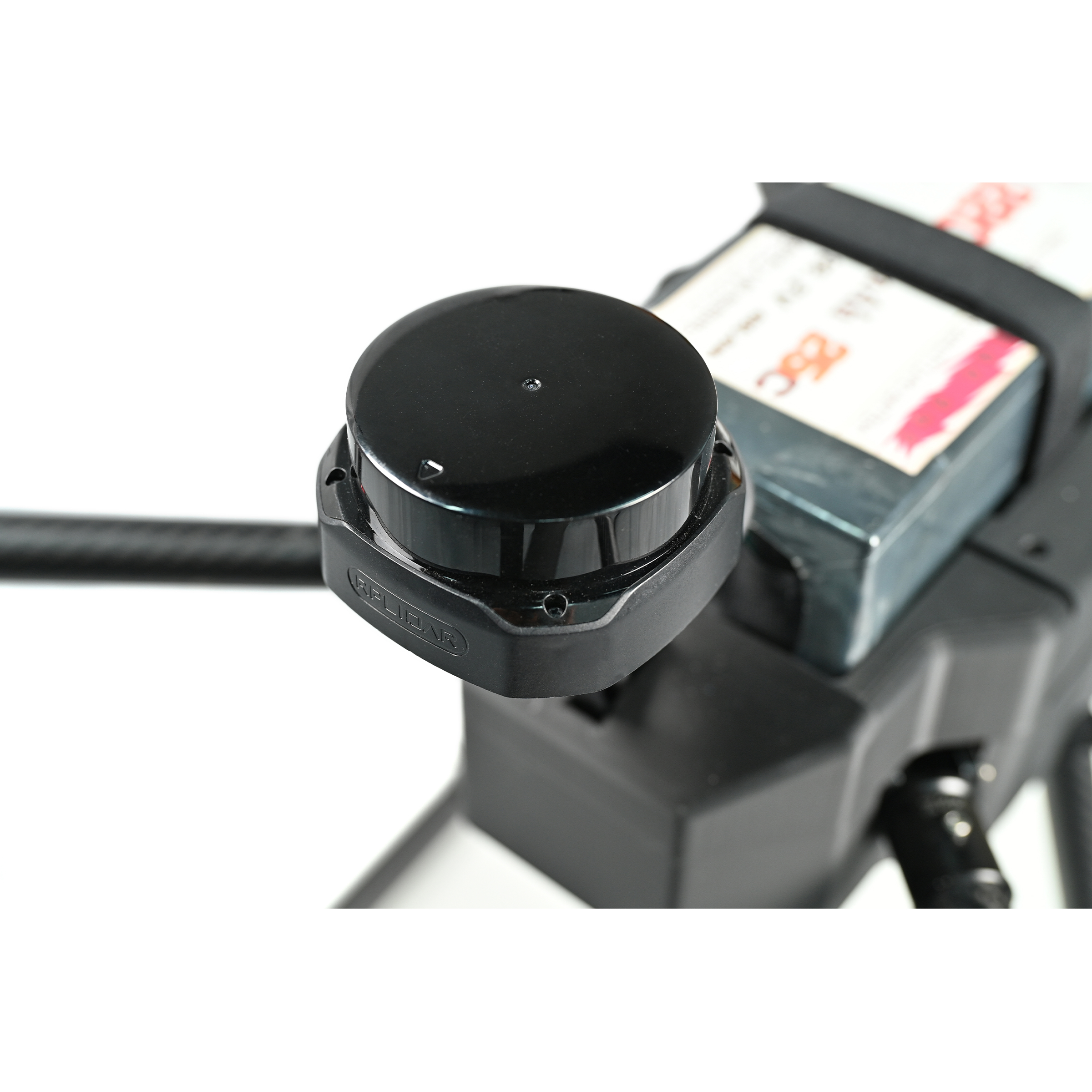
- Lidar: SLAMTEC S2 high-precision sensor, designed for detailed mapping and scanning.
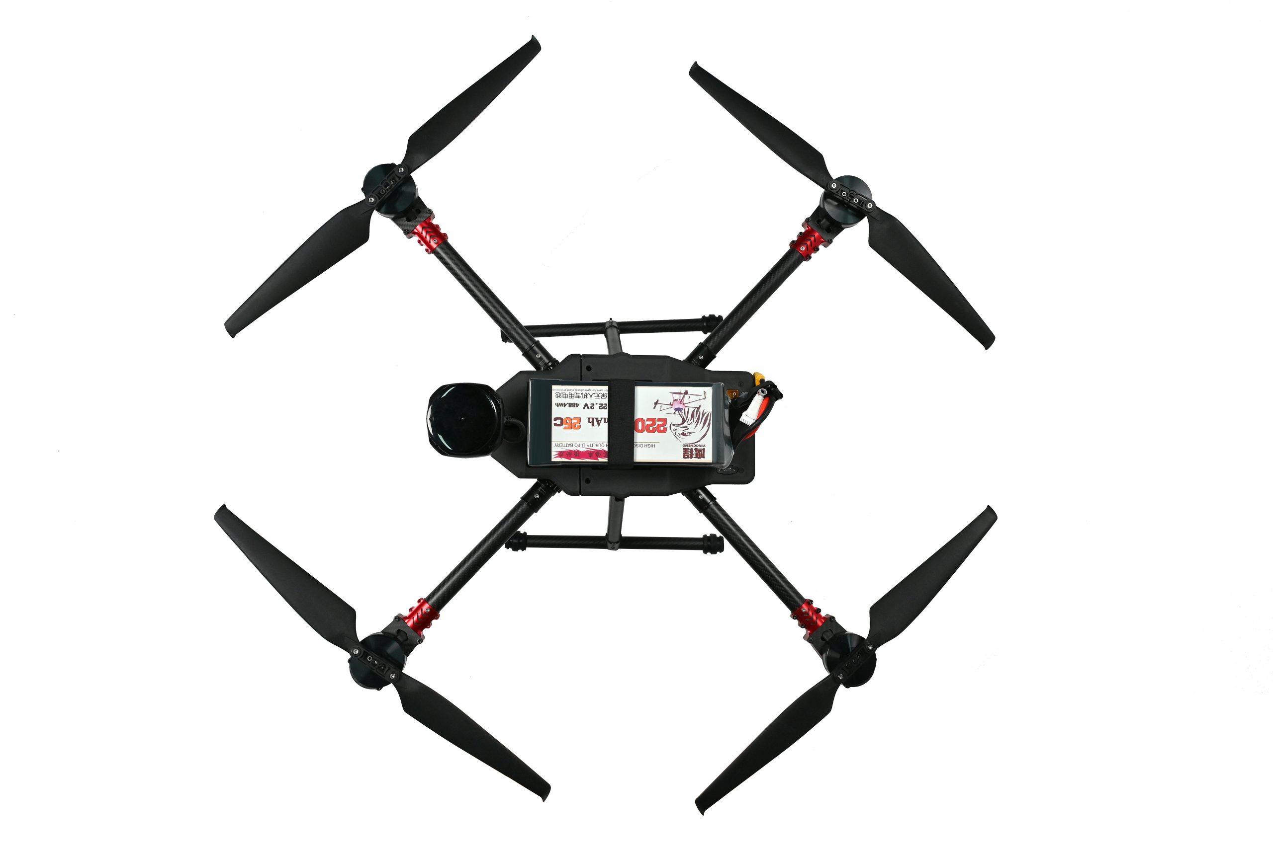
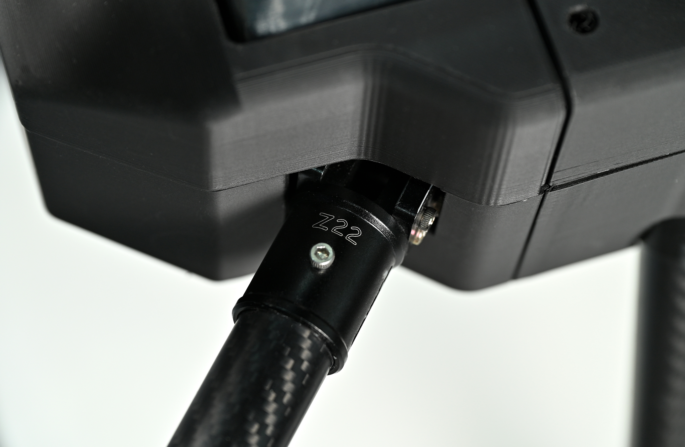
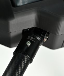
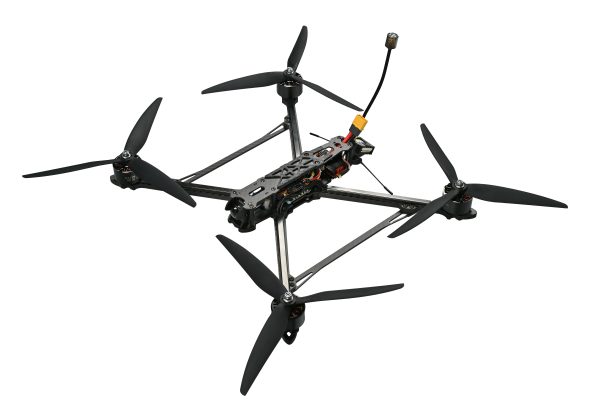
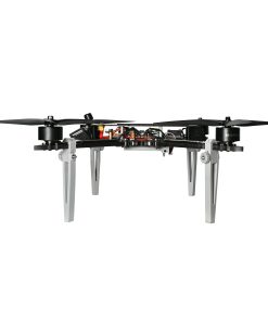
- Wheelbase: 900mm balanced frame, striking a perfect blend of stability and agility.
- Dimensions (excluding propellers): 62×62×40cm, compact enough for easy transport.
- Max Cruising Speed: 18m/s
- Endurance: Up to 52 minutes (unloaded)
- System Highlights
Flight System Excellence
The synergy between the SE0660X4 ESC and 5008 motors delivers consistent, efficient propulsion, even in challenging weather. The S7mini flight controller simplifies operations with automated takeoff, landing, and return-to-home functions, ensuring smooth, controlled flights. Paired with the G982 RTK module, it achieves centimeter-level precision—critical for high-accuracy tasks like mapping and inspection. The A2MINI gimbal further enhances data quality, stabilizing cameras and sensors for clear, blur-free footage.
Unmatched Payload Flexibility
Equipped with the SLAMTEC S2 LiDAR, the X4-900 captures millimeter-grade details, ideal for terrain scanning and 3D modeling. Its 22000mAh battery supports up to 52 minutes of flight, minimizing downtime, while the 18×5.7 propellers optimize lift and energy use for extended missions.
Superior Communication & Monitoring
The VW20 transmission system streams HD video and real-time flight data over several kilometers (depending on conditions), keeping operators fully informed. This seamless connectivity ensures precise control and instant access to mission-critical information.
Built for Portability & Durability
With a compact 62×62×40cm design, the X4-900 is easy to transport and deploy in remote locations. Crafted from premium materials and subjected to rigorous quality checks, it’s engineered to withstand harsh field environments, ensuring reliable performance when it matters most.
- Application Scenarios
Surveying & Mapping
Leveraging RTK precision and LiDAR technology, the X4-900 generates high-resolution terrain data, supporting the creation of Digital Terrain Models (DTM) and Digital Surface Models (DSM). It’s an invaluable tool for urban planning, construction site management, and land resource mapping.
Powerline Inspection
Equipped with RTK-guided navigation and real-time HD imaging, it streamlines infrastructure checks. Its agility allows it to navigate mountainous and forested areas with ease, enabling continuous, thorough inspections of power lines and related assets.
Security & Monitoring
The drone’s long-range video streaming capability enables wide-area surveillance, while compatibility with night-vision modules extends operations to 24/7, making it ideal for perimeter security, event monitoring, and emergency response.
- Pre-Sales FAQs
Q: What is the positioning accuracy of the RTK module?
A: The G982 RTK module delivers 1–2 cm accuracy under standard conditions, making it perfect for precision-critical tasks like mapping, infrastructure inspection, and automated path following.
Q: How precise is the SLAMTEC S2 LiDAR?
A: The SLAMTEC S2 LiDAR offers millimeter-grade resolution, ensuring detailed modeling of terrain, buildings, vegetation, and other structures—ideal for applications requiring intricate data.
Q: Is the X4-900 difficult to operate?
A: Not at all. It features user-friendly automated flight modes that simplify basic operations, making it accessible to beginners. For professional missions, we provide comprehensive manuals and training resources to ensure safe, efficient use.
Q: Does the 52-minute endurance meet real-world work needs?
A: Yes, for most surveying and inspection tasks, 52 minutes of flight time is more than sufficient. The battery is designed for quick swaps, allowing extended missions with minimal interruptions.
Q: What after-sales support is available?
A: We offer full technical assistance, including remote diagnostics, repair services, and warranty coverage. Our team is also available to provide training, troubleshooting guidance, and maintenance support to keep your operations running smoothly.
| Dimensions | 62 × 62 × 40 cm |
|---|
3 reviews for X4-900 Long Range FPV Quadcopter Industrial Mapping Drone with Centimeter-Level Precision 20km
Add a review
You must be logged in to post a review.
Related products
$5,142.00
FPV Drones
$5,142.00
FPV Drones
$5,142.00
FPV Drones
$5,871.00
$42,800.00
$348,800.00
$42,880.00
$348,800.00
Mike –
X4-900’s RTK and LiDAR? Spot-on. Cuts mapping time big time
Lisa –
52-minute flight? Saves us from constant battery swaps. HD footage stays steady too
Tom –
Best industrial drone I’ve used. Fast, accurate, worth it