


Mechanical alignment must travel with the sensor kit
Record mount orientation, lever arms and any boresight calibration in a versioned file. Reinstallation or impact can invalidate the prior relationship between scanner, antenna and airframe.
 Price:
$
Price:
$
Model:
X4-900H LiDAR traceability
Wheelbase:
Archived: 900mm wheelbase
Flight Control:
Archived: S7mini — verify firmware
Empty Weight:
Archived: 18m/s — define mapping limit
Power Battery:
Archived: 6S 22000mAh
Wingspan(without propellers):
Archived: 62 × 62 × 40 cm
Folded Size(without propellers):
Transport size depends on scanner mount
Empty Weight:
Measure configured LiDAR-platform mass
Satellite Navigation System:
Archived: G982 RTK — retain correction log
Endurance Time:
Archived: 52 minutes without scanner
Maximum Horizontal Speed:
Archived: 18m/s — define mapping limit
Image Transmission:
Archived: VW20 — confirm regional equipment
Electronic Speed Controller:
Archived: SE0660X4 ESC
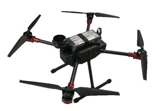
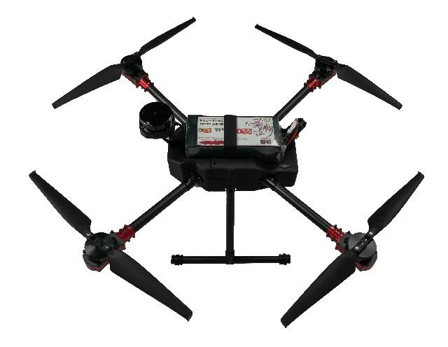
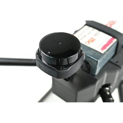
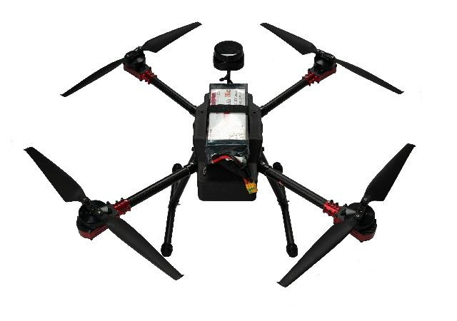
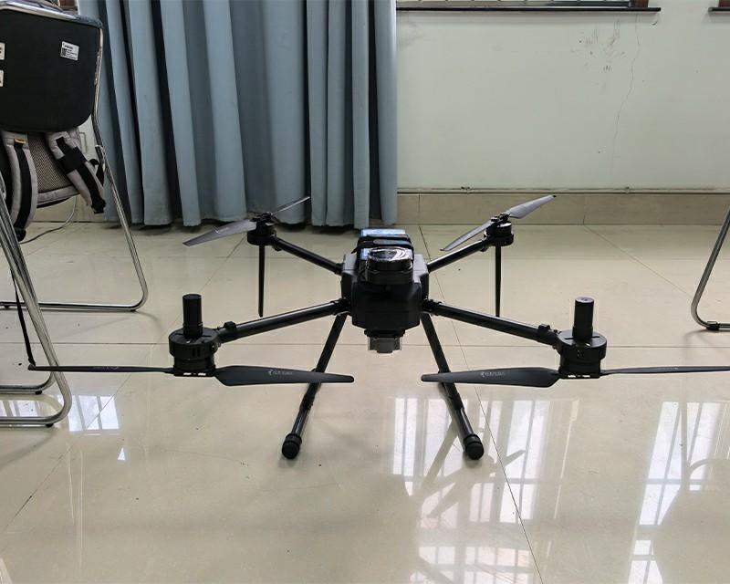
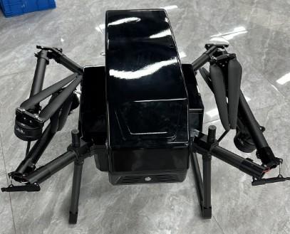
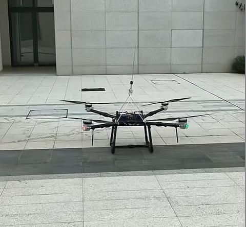
RTK, LiDAR and endurance wording belongs in an evidence chain. Positioning status, sensor timing, recorded files, processing settings and independent checkpoints must connect before accuracy is accepted. This X4-900H page combines G982 RTK, S7mini control, A2MINI gimbal, VW20 video, 6S 22000mAh battery and an S2 LiDAR reference. The specification table says SLAMTEC S2 while the prose says Suilan S2. That naming conflict can conceal different manuals or interfaces. The scanner manufacturer, model, serial identity, timing method and processing software must be confirmed before point-cloud accuracy or coverage is discussed.
SLAMTEC S2 in table; Suilan S2 in prose
Manufacturer, model, serial and manualNot described
Clock source, timestamp path and latency checkG982 RTK; attitude source open
Correction log, coordinate system and orientation fileMapping and terrain language
File format, density, checkpoints and processing version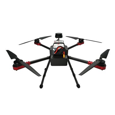
Record mount orientation, lever arms and any boresight calibration in a versioned file. Reinstallation or impact can invalidate the prior relationship between scanner, antenna and airframe.
The archived value is without payload. Scanner, computing hardware, mount and flight profile change useful coverage; measure the selected kit and report reserve and data completion together.
Not safely. Verify the supplied label and manufacturer documentation.
Position and attitude must correspond to each scan measurement for reliable georeferencing.
Use a known-area sample, independent checkpoints and recorded processing settings.
Ask for scanner identity, timing and calibration evidence before comparing mapping outputs.
Connect positioning, sensing and processing records before accuracy review.
Choose INAV or Betaflight for the X4-7 as a controlled firmware baseline with board checks, backup, sensor review, remapping and retesting....
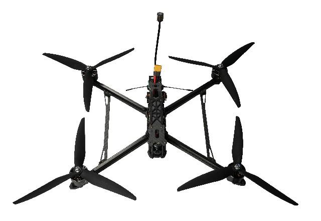
Audit the X4-10 S7mini page by resolving controller and 4S/6S battery conflicts and verifying GNSS hardware, firmware and supported functions....
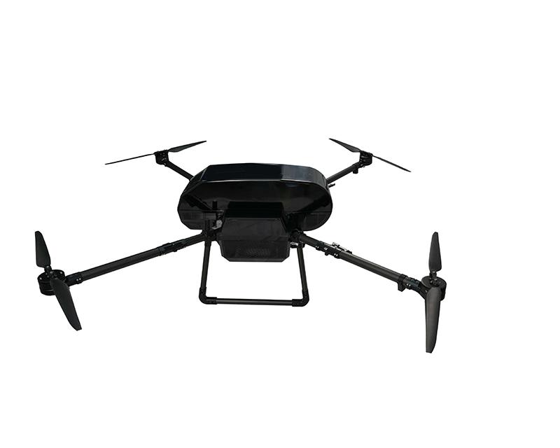
Review the X4-1900H high-load envelope through its 14.5/16kg conflict, energy system, manufacturer limits and configured test....
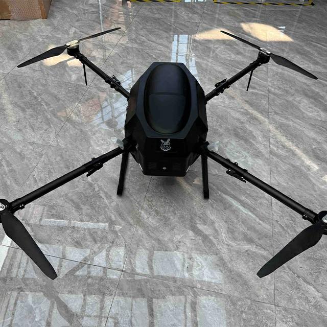
Assess the X4-1900H hydrogen drone through its airframe, fuel cell, cylinder, auxiliary batteries, transport, service and payload-specific endurance records....
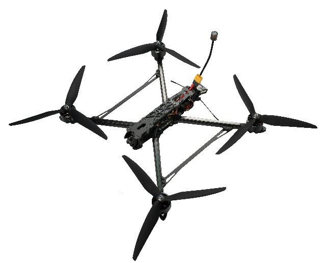
Review the document-led X4-10 racing page by resolving S7mini, receiver-brand, 4S/6S and 20/30m/s conflicts....
Reconcile the X4-1900H X8/X9 propulsion and 29kg/52kg maximum take-off conflicts before selecting civil inspection or survey equipment....


 Tel: +86-13959965075
 Email: info@fpvdroneskit.com
 MP/WhatsApp: +86-13959965075
 Manufacturer Address:Quanzhou Valley Nanan Science and Technology Innovation Center, No. 89 Shijing Avenue, Shijing Town, Nanan City, Fujian Province



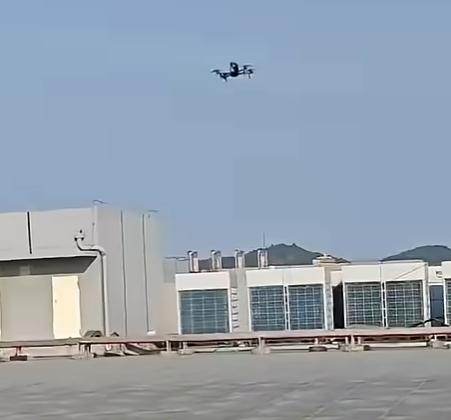
This long range FPV drone surprised me with its durability. After several long flights and minor crashes, the frame still holds up well. Repairs are easy, and spare parts are easy to find. Great for anyone who loves exploring far beyond the usual FPV range2025-12-30
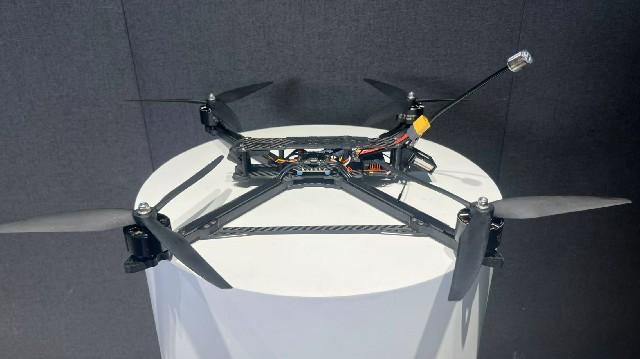
Long range FPV is incredibly fun, but you need to know what you’re doing. With proper setup and antenna orientation, you can push distances further. I lost signal once flying too quick without checking wind — lesson learned!2025-12-30
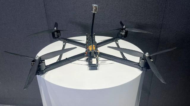
The long-distance capabilities of this drone impressed me right away. It kept a reliable link out to several kilometers, and the sturdy build handled a few rough landings without issue. A solid choice for expansive FPV flights2025-12-30
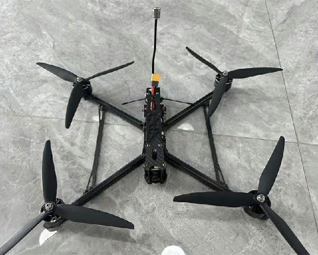
This long-range FPV drone gives me real confidence when flying far from the launch point. Signal penetration remains stable over open terrain, and the video feed stays clear enough to judge distance and orientation accurately. With proper battery planning, I can comfortably explore wide areas and s2025-12-30