Author:Military Drone Manufacturer TIME:2026-01-30
Introduction
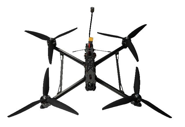
The ability to function without GPS support is a significant advantage for military FPV drones. In environments where satellite navigation is compromised, FPV platforms continue to provide tactical value through direct control and real-time visual feedback.
Human-Centered Navigation Model
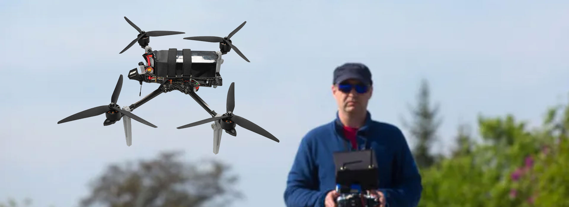
FPV drones employ a human-centered navigation model rather than automated waypoint guidance. Operators actively steer the aircraft using visual information.
This model allows rapid adaptation to unexpected obstacles and dynamic terrain.

Role of Onboard Sensors
While GPS may be unavailable, onboard sensors remain critical. Inertial sensors maintain flight stability and orientation throughout the mission.
These systems ensure consistent control even during aggressive maneuvers.
Visual Orientation in Complex Terrain
FPV drones excel at navigating complex environments such as urban areas or enclosed spaces. Visual orientation replaces reliance on digital maps or coordinates.
Operators use perspective and motion cues to maintain situational awareness.
Limitations of Non-GPS Operation
Operating without GPS does impose limitations. Absolute positioning, long-distance navigation, and autonomous return functions may be restricted.
Military FPV missions are therefore designed around short-range, task-focused objectives.
System Design for GPS Independence
Manufacturers optimize FPV drones for GPS independence by simplifying navigation logic and emphasizing control responsiveness.
This design approach reduces reliance on external infrastructure.
Operational Reliability Under Electronic Threats
GPS-denied capability enhances reliability in electronically contested environments. FPV drones can continue functioning where satellite-dependent systems cannot.
This resilience supports mission continuity.
Conclusion
Operating without GPS is a defining capability of military FPV drones. Through inertial stabilization, visual navigation, and human control, FPV platforms maintain effectiveness in environments where traditional navigation systems fail.


 Tel: +86-13959965075
 Email: info@fpvdroneskit.com
 MP/WhatsApp: +86-13959965075
 Manufacturer Address:Quanzhou Valley Nanan Science and Technology Innovation Center, No. 89 Shijing Avenue, Shijing Town, Nanan City, Fujian Province