Description Catalog Quality control Related FAQ Reviews


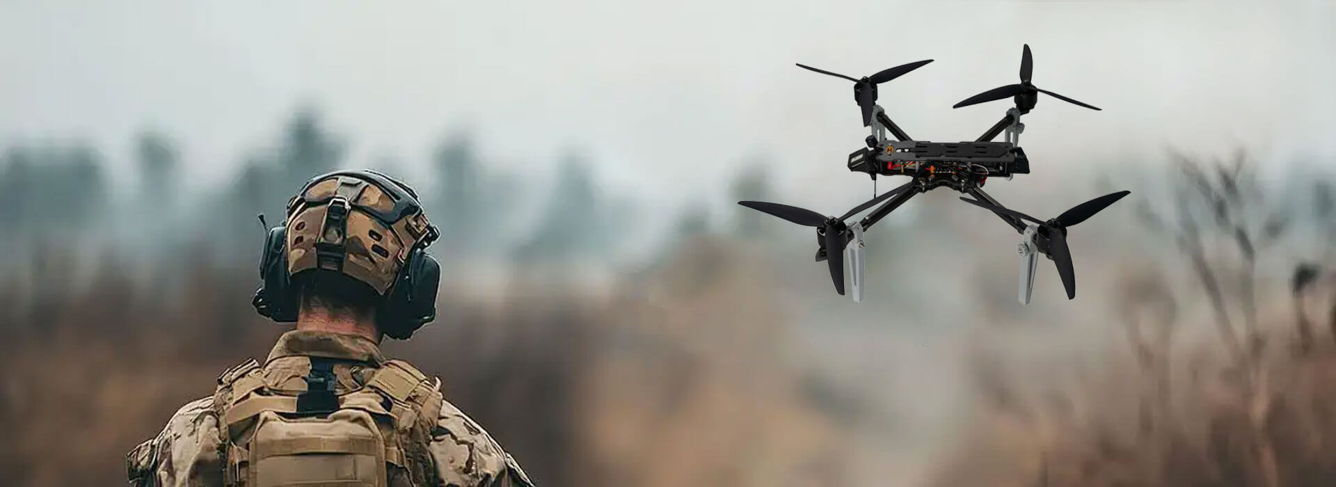
X4-900 Industrial Drone with RTK Gimbal and LiDAR

Price: $
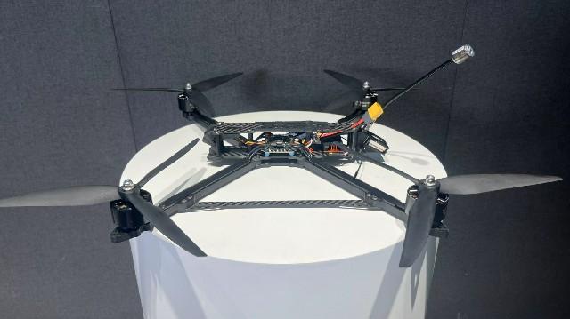
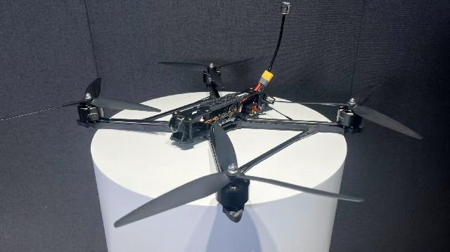
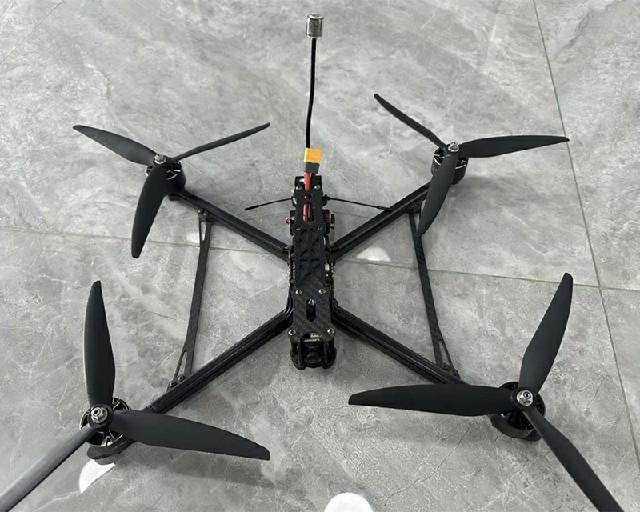
Model: X4-900 integrated mapping system
Wheelbase: Archived: 900mm wheelbase
Flight Control: Archived: S7mini — verify firmware
Empty Weight: Archived: 18m/s — set mapping limit
Power Battery: Archived: 6S 22000mAh
Wingspan(without propellers): Archived: 62 × 62 × 40 cm
Folded Size(without propellers): Transport size depends on sensor package
Empty Weight: Measure configured mapping mass
Satellite Navigation System: Archived: G982 RTK — retain correction log
Endurance Time: Archived: 52 minutes without payload
Maximum Horizontal Speed: Archived: 18m/s — set mapping limit
Image Transmission: Archived: VW20 — confirm model and region
Electronic Speed Controller: Archived: SE0660X4 ESC

Get Quote
RTK-gimbal-LiDAR integration

Treat the X4-900 as an integrated data system

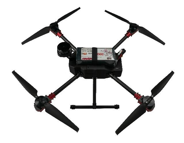
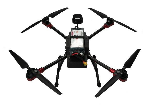
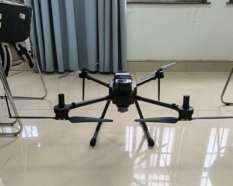
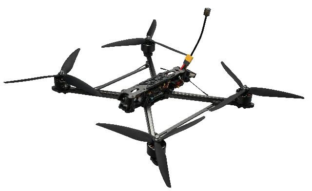
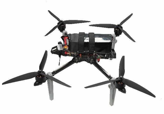
RTK, gimbal and LiDAR form a measurement chain rather than three independent badges. Correction source, sensor timing, mount, recorded files, processing settings and checkpoints must connect end to end. The archived X4-900 parts list names a 900mm frame, SE0660X4 ESC, S7mini controller, 5008 motors, G982 RTK, A2MINI gimbal, VW20 video unit, 6S 22000mAh battery and 18×5.7 propellers. The scanner is called SLAMTEC S2 in the table and Silan S2 in prose. That identity conflict, plus the 52-minute no-load condition, must be resolved before accepting a mapping package.

Integrated mapping evidence

  1. 01Scanner

    SLAMTEC S2 table; Silan S2 prose

    Manufacturer, model, serial and manual
  2. 02Position/time

    G982 RTK; timing path not described

    Correction log, clock and offset file
  3. 03Imaging

    A2MINI gimbal; camera open

    Camera, calibration and output sample
  4. 04Platform

    52 minutes without payload

    Sensor-equipped mass, coverage and reserve
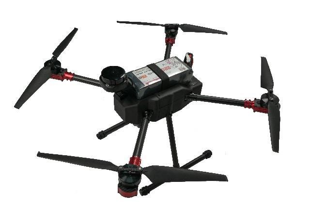
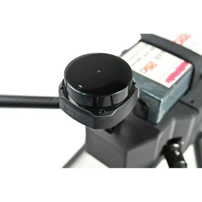
Black circular scanning unit and cable mounted above a battery on an aircraft frame.
This close view documents one visible sensor mount; model identity, timing and mapping accuracy remain file-based checks.

System-level receiving checklist

  • Resolve the scanner manufacturer and model name.
  • Identify RTK correction source and time alignment.
  • Record camera, gimbal and scanner mounting files.
  • Process a known-area sample with checkpoints.
  • Measure payload-equipped duration and reserve.

Keep mechanical alignment with the delivered sensor

Record mounting orientation, lever arms, gimbal state and any boresight file. A changed bracket or reinstalled sensor can invalidate the earlier relationship between scanner, camera, antenna and airframe.
Define the dataset before the flight plan

Specify coordinate system, file format, point density or image resolution, quality flags and checkpoints. RTK hardware cannot prove a finished deliverable without correction status, calibration and processing evidence.

X4-900 integration questions

Are Silan S2 and SLAMTEC S2 the same device?

Do not assume so; verify the physical label and manufacturer documentation.

Does G982 RTK guarantee the final map?

No. Corrections, timing, calibration, flight planning and processing also affect output.

Which duration belongs in a mapping quotation?

Use the result for the installed sensors, mass, weather and reserve.

Scope an integrated X4-900 package

State the required dataset and sensor so identity, timing and acceptance evidence can be assembled.

Compare industrial mapping platforms
Media Chain

RTK gimbal LiDAR chain

Connect positioning, sensing, timing and output evidence before accuracy review.

01
Define correction source, coordinate reference, sensor revision and mount.
02
Preserve raw files, timing state, calibration and processing settings.
03
Use independent checkpoints to report error, exclusions and rework intervals.

Related Resource


X4-900 Industrial Drone with RTK Gimbal and LiDARRelated Quality Control
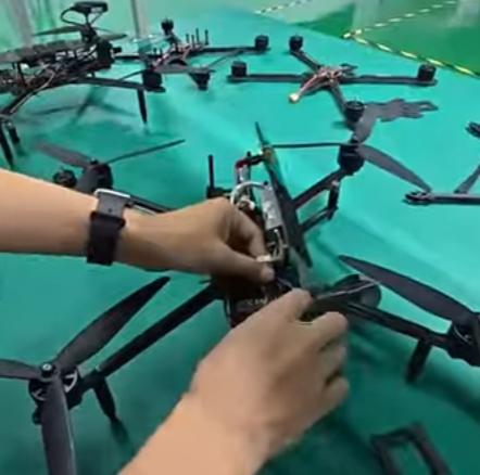
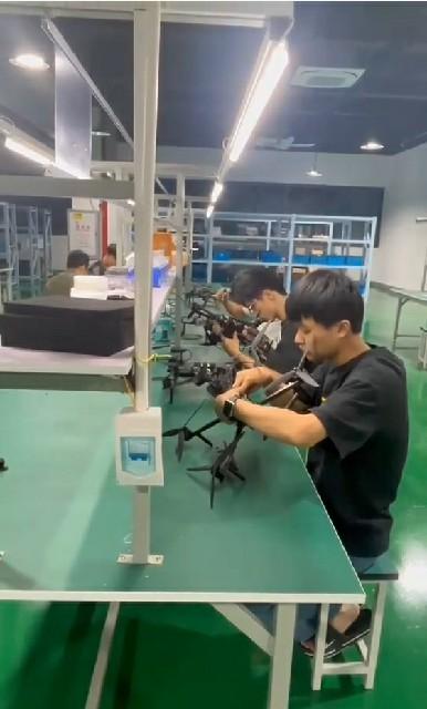
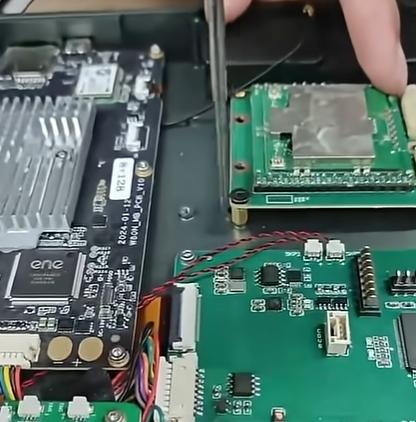
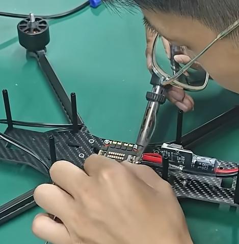
Careful Selection and Inspection of All Incoming Electronic and Mechanical Components
Review the FPV process evidence, records and acceptance checks a buyer can request for a selected configuration.
Endurance and Vibration Testing for Key Structural Components
Review the FPV process evidence, records and acceptance checks a buyer can request for a selected configuration.
Compliance with Relevant International Quality and Safety Standards
Review the FPV process evidence, records and acceptance checks a buyer can request for a selected configuration.
Continuous Improvement Based on Testing Data and Customer Feedback
Review the FPV process evidence, records and acceptance checks a buyer can request for a selected configuration.
Related FAQ
FAQ More+
1.What Are Long Range FPV Drones Used For?
Find evidence-led answers about FPV configuration, compatibility, documentation and acceptance checks for lawful decisions....
2.What Is a Long Range FPV Drone?
Find evidence-led answers about FPV configuration, compatibility, documentation and acceptance checks for lawful decisions....
3.How durable and field-maintainable are Long Range FPV drones for extended missions?
Find evidence-led answers about FPV configuration, compatibility, documentation and acceptance checks for lawful decisions....
4.How does precise flight control support long-range mission success?
Find evidence-led answers about FPV configuration, compatibility, documentation and acceptance checks for lawful decisions....

Customer Reviews


Score
 Remove

Review Title

Review Text

   Worth Every Penny!


 2025-12-29

I’ve tried several FPV drones, and this one stands out for quality and performance. The build feels solid, and the video feed is crystal clear. Definitely recommended for serious hobbyists.
   Extended Flight Range, Smooth Controls


 2025-12-30

Using this drone for scenic long-range flights has been an amazing experience. Controls feel smooth even at the edge of transmission range, and the battery life lets me stay airborne for extended sessions. Ideal for explorers and aerial photographers alike
   Great Balance of Range and Stability


 2025-12-30

My experience with the FPV Drone has been positive overall. The long-range capability is solid for cruising and exploration flights, and the stable flight characteristics in crosswinds give me confidence flying farther out. Perfect for intermediate pilots looking to push their limits
   Fast, Stable & Long Range FPV Fun


 2025-12-30

This drone gives me fast, stable FPV flights with awesome long-range capability. I take it on trips for panoramic footage, and the reliable signal and build quality make it a pleasure to fly far and wide.
Need Help?
Please leave your contact information to get our latest catalog
Get In Touch Now >
FD FPV Drones

Tel: +86-13959965075

Email: info@fpvdroneskit.com

MP/WhatsApp: +86-13959965075

Manufacturer Address:Quanzhou Valley Nanan Science and Technology Innovation Center, No. 89 Shijing Avenue, Shijing Town, Nanan City, Fujian Province

NEW KEYWORD

About Us

Products

Information

  • tel
  • +86-13959965075
  • Please Leave Message

    Quanzhou XIYI Technology Co., Ltd.
    +86-13959965075
  • info@fpvdroneskit.com
  • whatsapp
    WhatsApp